


4,5 km | 5,4 km-effort

Tous les sentiers balisés d’Europe GUIDE+


Aplicación GPS de excursión GRATIS
 SityTrail
IGN / Institutos geográficos
SityTrail World
El mundo es suyo
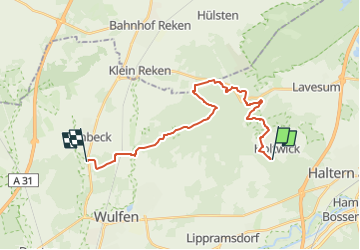
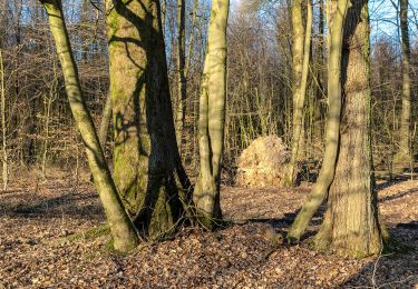
Ruta A pie de 18,9 km a descubrir en Renania del Norte-Westfalia, Kreis Recklinghausen, Haltern am See. Esta ruta ha sido propuesta por SityTrail - itinéraires balisés pédestres.
Trail created by Regionalverband Ruhr (RVR).
Hauptweg ( es gibt noch 3 Nebenwege) https://naturpark-hohe-mark.de/ziel/der-steig/
Symbol: rosa Grund - geschwungener Weg mit 2 Bäumen Text
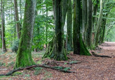
 - Photo 1")
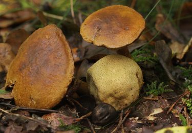
 - Photo 2")
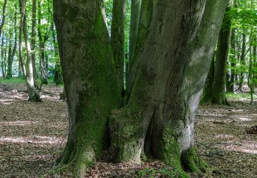
 - Photo 3")
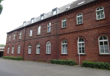
 - Photo 4")
 - Photo 5")
 - Photo 6")
 - Photo 7")
 - Photo 8")
 - Photo 9")
 - Photo 10")
A pie
A pie
A pie
A pie
A pie
A pie

A pie
A pie
A pie